+255 685451814
info@kibolaafricansafaris.com
Arusha -Tanzania

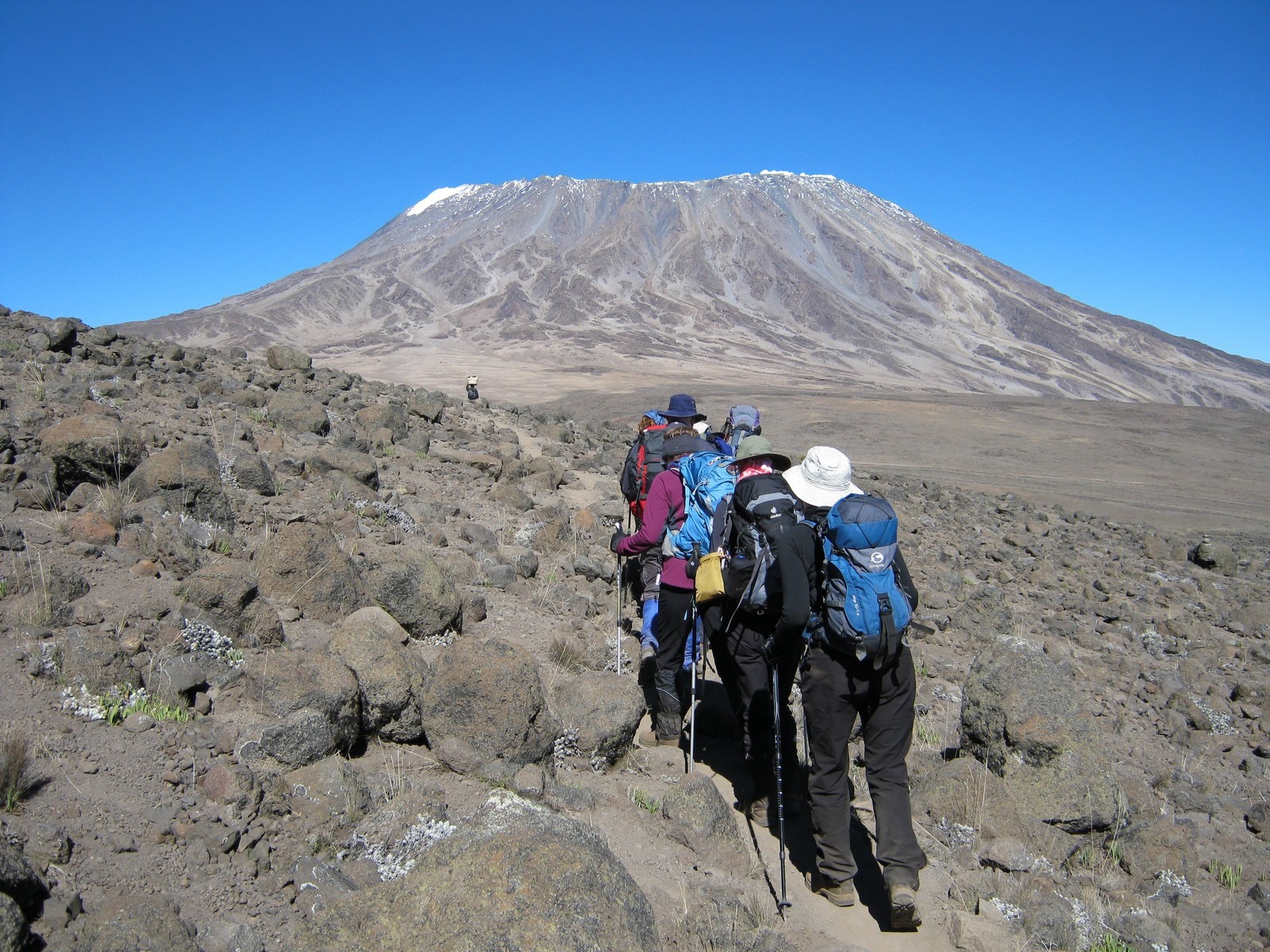
The Rongai route is the only trail that starts from the Northern, or Kenyan side of Mt. Kilimanjaro. Because of its remote location the route offers trekkers a relatively unspoilt wilderness experience where it is possible to see large wildlife like antelope, elephant and buffalo.
The Rongai route ascends Kilimanjaro from the northeastern side of the mountain, along with the
border between Tanzania and Kenya. This route retains a sense of unspoiled wilderness and offers a
different perspective on Kilimanjaro by approaching it from the north.
Kilimanjaro International Airport (Google map)
08:30a.m
WElevation: 6,398 ft to 9,300 ft
Distance: 8 km/5 miles
Hiking Time: 3-4 hours
Habitat: Rain Forest
We drive from Moshi to Marangu Gate for permits before taking a short transfer to the Rongai Gate
trailhead. The path winds through corn and potato fields and then climbs gently through the forest
which is home to a variety of wildlife, including the black and white colobus monkey.
Elevation: 9,300 ft to 11,300 ft
Distance: 6 km/4 miles
Hiking Time: 3-4 hours
Habitat: Heath
Second Cave to Kikelewa Cave
Elevation: 11,300 ft to 11,811 ft
Distance: 6 km/4 miles
Hiking Time: 3-4 hours
Habitat: Forest
We begin this morning with a steady incline up to Second Cave. We continue trekking through
moorland, leaving the main trail for a smaller path towards the jagged peaks of Mawenzi, before
finally arriving at Kikelewa Cave for the night.
Elevation: 11,811 ft to 14,160 ft
Distance: 5 km/3 miles
Hiking Time: 3-4 hours
Habitat: Alpine Desert
The hike today is short and steep up a grassy slope. Possibility to Views the wilderness area are
stunning. As we exit the heath zone and emerge into the Alpine Desert zone, the landscape changes
dramatically. Our camp is situated beneath the jagged spires of Mawenzi, The remainder of the day
can be spent relaxing or exploring the area/ view.
Elevation (ft): 14,160 ft -14,400 ft
Distance: 2 km/1 mile
Hiking Time: 1-2 hours
Habitat: Alpine Desert
Mawenzi Ridge to Mawenzi Tarn
Elevation (ft): 14,400 ft -14,160 f
Distance: 2 km/1 mile
Hiking Time: 1-2 hours
Habitat: Alpine Desert
This is an extra day meant for acclimatization and can be spent day hiking on Mawenzi Ridge. The
unique landscape offers motivating views of Kibo and Mawenzi. After spending a few moments
exploring the area we head back to Mawenzi Tarn for camp.
Elevation (ft): 14,160 ft to 15,430 ft
Distance: 8 km/5 miles
Hiking Time: 5-6 hours
Habitat: Alpine Desert
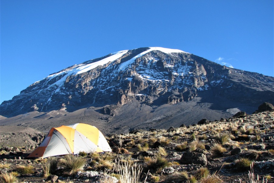
We climb gradually, then cross the lunar desert of the “Saddle” between Mawenzi and Kibo. Our
camp, Kibo Hut, sits at the bottom of the Kibo crater wall. Once here we will have time to rest and
enjoy an early dinner to prepare for the summit day.
Elevation (ft): 15,430 ft to 19,341 ft
Distance: 6 km/4 miles
Hiking Time: 6-8 hours
Habitat: Arctic
Uhuru Peak to Horombo Hut
Elevation (ft): 19,341 ft to 12,250 ft
Distance: 16 km/10 miles
Hiking Time: 4-5 hours
Habitat: Heath
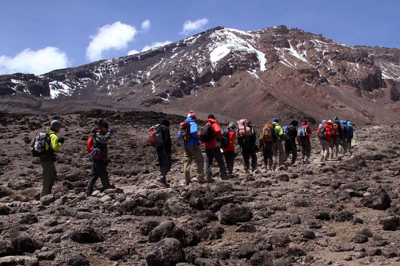
Very early in the morning (around midnight), we begin our push to the summit. This is the most
mentally and physically challenging portion of the trek. The wind and cold at this elevation and time
of day can be extreme. We ascend in the darkness for several hours while taking frequent, but short,
breaks. At Gilman’s point (18,600 ft), you will be rewarded with the most magnificent sunrise you
are ever likely to see coming over Mawenzi Peak. Finally, we arrive at Uhuru Peak- the highest point
on Mount Kilimanjaro and the continent of Africa.
After spending a few moments taking in the plains of Africa and your achievement we descend to
Horombo Hut. Later in the evening, we enjoy our last dinner on the mountain and a well-earned
sleep.
Elevation (ft): 12,205 ft to 6,046 ft
Distance: 20 km/12 miles
Hiking Time: 5-7 hours
Habitat: Rain Forest
On our last day, we have a long trek mostly downhill through the tropical rain forest. Once at the
park headquarters at Marangu gate, we collect our summit certificates. A vehicle will meet us here
and drive us back to the hotel in Moshi.